Well, have been much days that I didn’t post anything.
I was trying to understand how the MH2O it’s structured in each ADT file, and now I implemented a plugin of jQuery that help you to see the water level of an “ADT” file (only if it’s not ocean).
It’s very simple to use, just call this function:
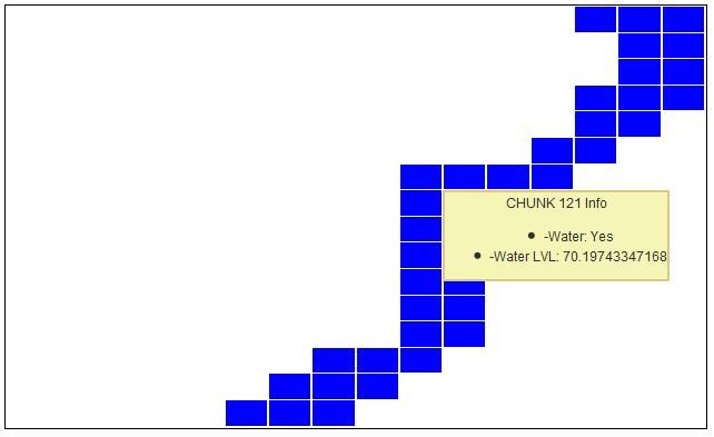
$MyADT->ADT_MH2O_Draw();And then move your mouse for each cell.
Source code